
Marine charts contain vastly more information than most recreational sailors ever use. The difference between basic navigation and genuinely competent seamanship lies in understanding the layers of data buried in symbols, colours, and numbers that beginners scroll past without a second thought.
Chart Datum Isn’t What You Think
Everything on your chart references a specific datum—usually Lowest Astronomical Tide. That depth reading of 5 metres means five metres above the absolute lowest the tide ever gets, not current water depth. Misunderstanding this causes boats to run aground in supposedly safe water, particularly during spring tides when levels drop below predictions.
Lateral Marks Work Backwards in Some Countries
Australia uses IALA-A marking, where red marks stay on your port side returning to harbour. Americas use IALA-B, where red means starboard. Charter sailors moving between regions constantly make this mistake, following buoys on the wrong side and wondering why they’ve hit bottom.
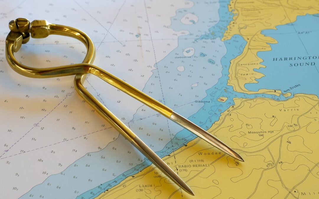
Scale Determines What Information Appears
A 1:10,000 harbour chart shows individual mooring buoys and underwater cables. Zoom out to 1:500,000 passage planning scale and entire reefs disappear from view. Many boaters access marine navigation charts online without checking scale, missing critical hazards that simply don’t render at broader views.
The Light Characteristics Code
“Fl(2)WR 10s 15m 12M” looks like gibberish until you understand it describes a flashing white-red light, two flashes every ten seconds, 15 metres above high water, visible for 12 nautical miles. Every lighthouse has unique characteristics that confirm your position when landmarks look identical in darkness.
Why Older Charts Sometimes Beat New Editions
Hydrographic offices occasionally remove detail during updates to reduce clutter. A 1998 chart might show individual rocks that disappeared from the 2023 version, consolidated into general “foul ground” markings. Comparing editions reveals information that modern cartographers deemed unnecessary but remains bloody useful.
Tidal Stream Arrows Nobody Uses
Those purple arrows with numbers predict current direction and speed at different tidal states. Working with or against two-knot currents changes your course by miles over several hours. Most sailors ignore these entirely, then wonder why their GPS track looks nothing like their intended route.
Prohibited Zones Change Without Warning
Military exercise areas, marine reserves, and shipping lanes get established or modified between chart publications. Small notice boxes along margins announce these changes, but who actually reads margin notes? That’s how you end up motoring through an active naval firing range.
The True Cost of Chart Hoarding
Collecting every chart for your cruising area sounds sensible until you’re searching through forty folded sheets in a pitching cockpit. Professional sailors carry passage charts for overview, detailed charts for approaches, and harbour plans for berthing—nothing more. Three relevant charts beat thirty outdated ones.
Marine charts reward those who invest time understanding their intricacies. The information exists in plain sight, but interpreting it correctly separates confident navigation from dangerous guesswork at sea.